Hiking Cape Lookout trail, Tillamook County, OR

November 8, 2007: Hiking Cape Lookout trail, Tillamook County, OR: Have you ever seen the wind blow straight up? You have a chance to see it happen on the Cape Lookout trail. Chris, Lucy (dog) and I were hiking the trail with a strong wind blowing out of the south. The wind was hitting the east/west cliff wall and sending streamers of fog flying straight up. It looked like a waterfall in reverse motion.

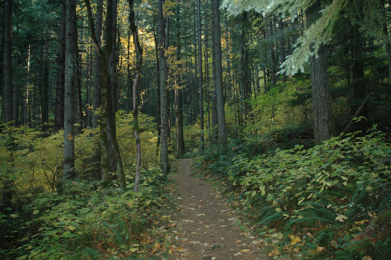
The trail meanders through a forest of giant spruce trees. Wind shrieked through tree limbs overhead. Branches rubbing together gave off banshee-like cries, moaning and groaning under the stress of the wind. Huge root wads of downed trees gave ample testimony to the power of the wind.

With the wind blowing fog through the trees the landscape takes on a bizarre quality. The fog condensed on the trees and dripped a rain of drops below.
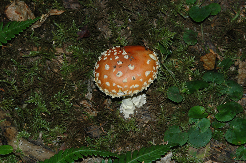
Almanita muscaria
Mushroom Amanita muscaria Don’t nibble on this one. It is classified Poisonous…

Delicate ferns, mosses, and fungi thrive in the damp atmosphere so take your camera. Light levels are low under the canopy of the forest so additional flash lighting may be necessary.

The cape juts about two miles out into the ocean but the path zigzags making the walk to the viewpoint about two and a half miles. There are spectacular views available (if it isn’t foggy). Take your binoculars, you may see whales passing the tip of the cape. In places the trail edges along the cliffs making one wonder about the safety of trails like this one. I would hesitate to recommend it for small children or adults who are unsteady on their feet.

The parking lot is reported to be about 800 feet in elevation and the view point is about 400 feet above the ocean so if you hike the trail plan on an uphill climb when you return to the parking lot. Fortunately most of the trail is a gentle grade. Tree roots and rocks demand paying attention to where you place your feet. Take your time and enjoy the day.

byLarry

Related Images:

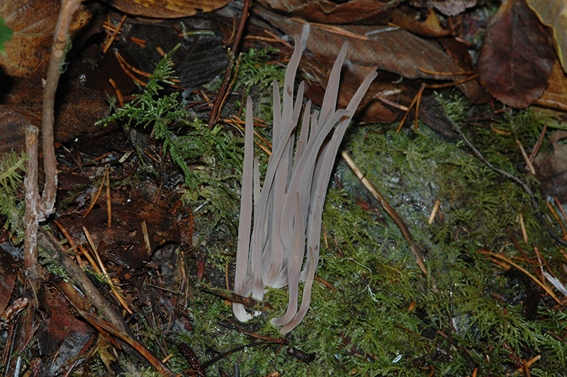
Clavaria purpurea

November 5, 2007: Camp Magruder, Tillamook County OR: Clavaria purpurea found growing under salal (Gaultheria shallon) and Sitka spruce (Picea sitchensis). You couldn’t get any closer to sea level than this location.

Clavaria purpurea
mushroom Clavaria purpurea Camp Magruder 11/5/2007 Tillamook County

Marvin and I walked the wetlands trail on the west side of Smith Lake. Trail head is located just inside the Camp Magruder gate.

byLarry

Related Images:

Munson Creek Falls, Tillamook County, OR

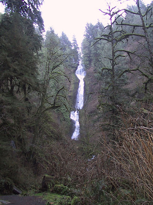
November 5, 2007: Munson Creek Falls, Tillamook County, OR: Depending on which reference you read the falls is either 319 feet or 266 feet but in either case the falls is worth a stop.

Marvin and I picked a beautiful sunny November day to make the trip. Finding the road was difficult as the highway sign had been removed. We had been to the falls before and after a couple passes by the exit we recognized the road leading in to the park. After leaving highway 101 the road to the falls is well marked.

We were intent on finding mushrooms to photograph and we were not disappointed. The peak”bloom” was past but there were incredible numbers of mushrooms to see.

byLarry

Related Images:

Hamilton Mountain, Skamania County, WA

November 2, 2007, Hamilton Mountain, Skamania County, WA: Margo and I hiked this trail June 2, 1969. She wrote in the margin of our “100 Oregon Hiking Trails” (by Don and Roberta Lowe) “good hike, steep trail, 2 1/2 hours up, 2 hours down”. In those days, before children (BC), we intended to hike all 100 trails. We did the majority of those and we were nearly always alone on the trails. It was a surprise to meet someone. But today, even during the week, the trails can be crowded and this day was no exception. The small parking lot at trail head was full of vehicles.

Chris, Lucy, and I didn’t intend to climb to the top. We were intent on looking at Rodney Falls and perhaps climbing high enough to see the spectacular view of Bonneville Dam and the Columbia Gorge.

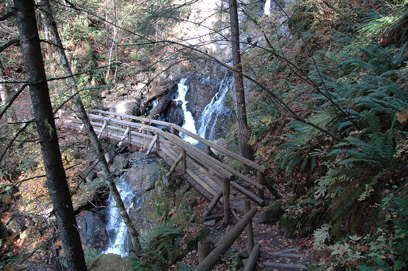
There are two major water falls along the trail. Hardy Falls has the greatest drop but is below the trail and although scenic is not photogenic. Rodney Falls is a series of tumbles rather than a single drop. Getting all of it into the viewfinder is a challenge. A cloudy day would be better for photography because of contrast issues between sunlight and shade.

Rodney Falls
Rodney Falls Hamilton Mountain 11/2/2007 Skamania County WA

Soon after passing Rodney Falls we ran out of ambition and returned to the parking lot. Perhaps on another day we will make the climb to the top.

byLarry

Related Images:

John B. Yeon State Park

October 28, 2007: John B. Yeon State Park, Multnomah County, Oregon: Even though it was Sunday and the crowds would be out because it was a beautiful sunny day Chris and I decided to drive into the Columbia River Gorge and visit the John B. Yeon State Park. It was about forty years ago when I last stopped there.

We weren’t alone. About eight or nine cars were in the parking lot when we arrived. We locked up our valuables as suggested by the park sign and headed up the hill.

Forest Scene
Forest Scene John Yeon Park 10/28/2007 Multnomah County

The path starts with a stroll through stately Douglas fir trees. It looks peaceful here but the roar of vehicle traffic on nearby I-84 is disturbing.

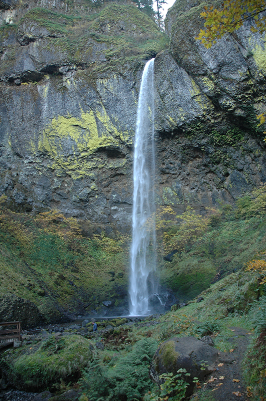
Elowah Falls
Elowah Falls 290 feet John Yeon Park 10/28/2007 Multnomah County

Our first stop was at Elowah Falls. Much of the internet literature claims a drop of nearly 290 feet but we have to think the measurement must have included both the upper and lower falls. By our guess the water shown here drops about 200 feet, coming off that impressive wall of basalt rock. Huge house sized boulders litter the creek below giving testimony to the forces of erosion. We took a few pictures and then decided to backtrack and try the trail to Upper McCord Creek falls.


It is an interesting trail to the top of the bluff. Switchbacks make for an easy climb. At one place an old water pipe, about two feet in diameter, crosses the trail headed straight for the river. I’m unsure what it was used for and so far I haven’t found any reference to the pipe. It is rusted through in many spots so it has been in place for a long time. Perhaps the community of Warrendale used it to provide their water supply.

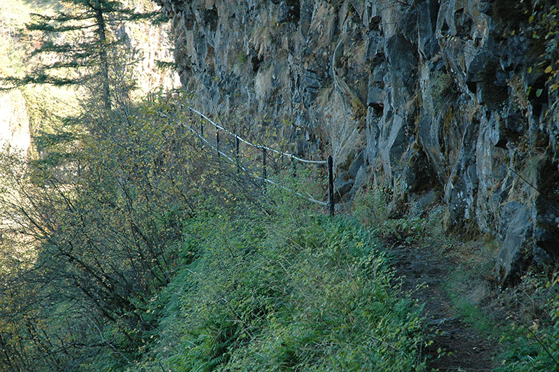
Cliffside Trail
Cliffside Trail Upper McCord Creek John Yeon Park 10/28/2007 Multnomah County

The trail edges along the cliff but a railing provides some comfort for the nervous hiker.

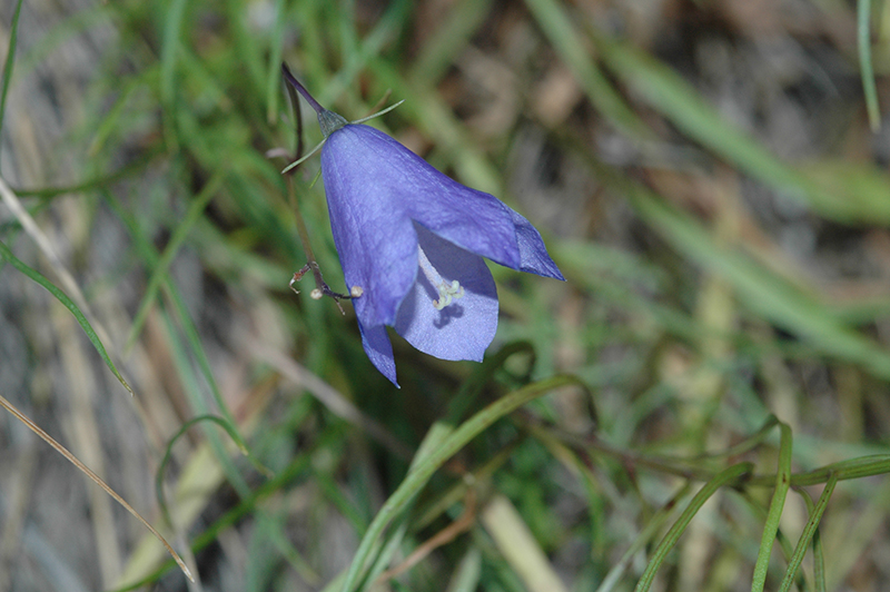
Round leaf Bluebell
Campanula rotundifolia Round leaf Bluebell Multnomah County

We spotted a couple late blooming wildflowers. This Round-leaf Bluebell (Campanula rotundifolia) was a delightful surprise.

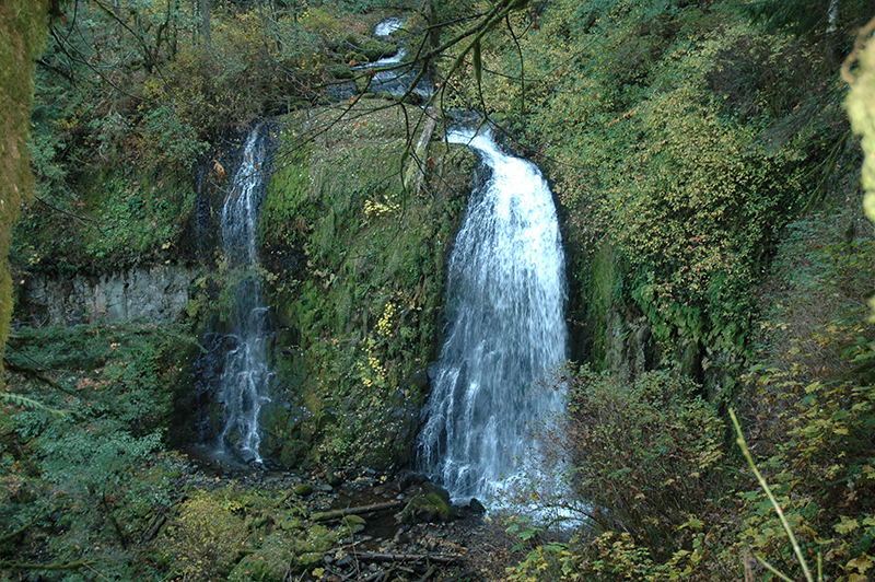
Upper McCord Creek Falls
Upper McCord Creek Falls John Yeon Park 10/28/2007 Multnomah County

The Upper Falls used to be a twin falls but changes in the flow of water have reduced one of the falls to a mere trickle.

On the way back to the parking lot we passed a number of hikers headed up the hill. About twenty cars filled the lot to overflowing. Nice weather brings out the hikers.

ByLarry

Related Images: