Vinegar Hill, Grant County, OR

June 14, 2007: Vinegar Hill, Grant County, OR: Vinegar Hill towers over 8,100 feet but an unmaintained road leads to the summit. It was the middle of June but we were turned back by snow before reaching the top. It won’t be long before the summer sun melts this last vestige of winter. (Do not attempt this road without a high clearance vehicle… four wheel drive is recommended.) Be prepared for a rough ride. I was driving a Dodge 4WD pickup and the snow drifts stopped us cold.

We made a couple of runs at the snow drifts before common sense prevailed. Getting an eight thousand pound truck stuck in this remote location would be folly. Dad used to tell me that having four wheel drive meant you would get stuck in a place you wouldn’t begin to take a two wheel drive rig (He told me this after I nearly lost his jeep in a back-country mud-hole.) I eventually saw the wisdom of his words. Don’t get overconfident because you have 4WD.

We backed downhill to a turnaround spot and called it a day. I did reach out with a cell phone though service was not good. The call dropped before I finished talking.

We found this Dwarf Mimulus near a serpentine outcrop. Note the green rock to the left.
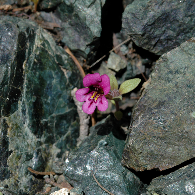
Mimulus nanus
Mimulus nanus Vinegar Hill 6/14/2007

byLarry

Related Images:

Summit Road, Union County, OR

June 13, 2007: Summit Road, Union County, OR: The winter snow has melted and Summit Road is open full length. The soil is still wet from snow melt and the wildflowers are ramping up although it is already too late for some of the early blooming species like Erythronium.

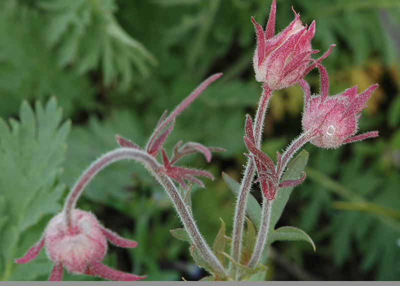
Marvin and I started from Highway 204 near Tollgate and headed south toward I-84. We made many stops for brief forays into the field along the 40 mile drive. We were delighted to find several new species (new to us) and a number of old friends like this Prairie Smoke.

Geum triflorum
Prairie Smoke (Geum triflorum) Summit Road 6/13/2007


byLarry

Related Images:

Sugar Pine Botanical Area, Clackamas County, OR

June 11, 2007: Sugar Pine Botanical Area, Clackamas County, OR: Chris and I stopped at the Clackamas River Ranger District Office in Estacada to purchase a map of the area and confer with rangers about the condition of forest service roads. We were interested in finding an example of the Sugar Pine species (Pinus Lambertiana). Some roads were still blocked with snow and had not been conditioned since the winter.

The ranger pointed out some road closures to us but indicated that we should not have a problem accessing the Botanical Area. That was good news to us. The bad news was that we might not find any Sugar Pine. He said that the trees had been in decline for a number of years.

Chris navigated while I drove and we had no problems finding the parking area. The gate barricading an old road into the area had been taken down but we elected to walk anyway. It was evident that people had been camping inside the area and using off road vehicles on the trails. We were also surprised to find timber in the area had been thinned. I don’t know what kind of protection a botanical area designation provides but evidently not much.

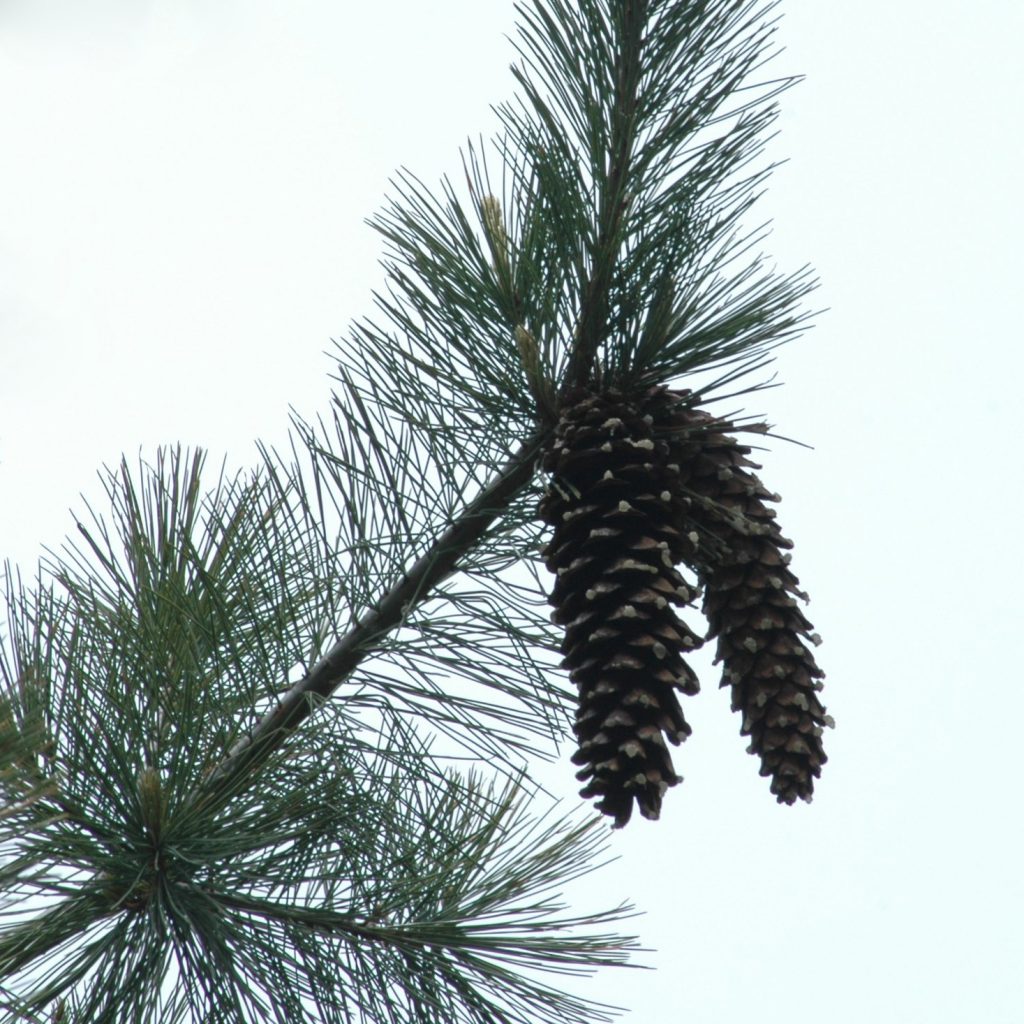
White Pine
White Pine cones 6/11/2007

We did find white pine in the area. Needle count is the same as Sugar Pine but the cones are about half the size as Sugar Pine… it is not likely an experienced forester would misidentify the trees.

byLarry

Related Images:

Round Lake, Marion County, OR

June 6, 2007: Round Lake, Marion County, OR: Lucy, a wire-haired terrier, and I decided to return to Round Lake. One of the pictures I took on the last trip wasn’t very good and I was determined to replace it with a better photo. Usually I am careful about noting location just in case of such a possibility but in this case evidently I got distracted. Perhaps I thought it would be too easy to find again. Perhaps you can see where this story is going.

I originally found the plant roadside and had its location narrowed down to a six mile stretch of road. Ordinarily I use the odometer to locate myself within a tenth of a mile which usually suffices. If the plant has special significance I note its position by GPS.

On the trip inbound to Round Lake I noticed the flower roadside but as it was raining I decided to stop on the way back. Guess what… I drove that section of road four times and didn’t see the flower again. Which upholds one of Murphy’s Laws.

Never pass a plant by thinking you will see another one… you won’t, and you won’t be able find the original again either. If you stop you will be guaranteed finding much better specimens a little way farther down the road… it’s a fact of life.

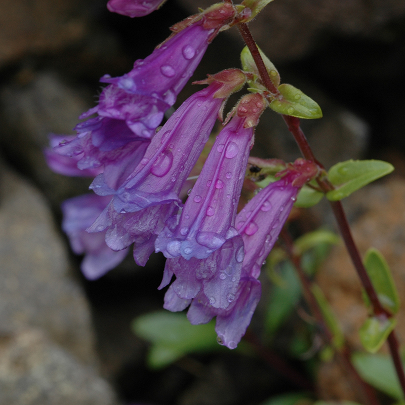
Penstemon
Penstemon Round Lake Road 6/6/2007

The day wasn’t lost. Other flowers were available… this beautiful penstemon was willing to pose.

byLarry


Related Images:

Iron Mountain, Linn County, OR

June 4, 2007: Iron Mountain, Linn County, OR: The weather forecast was for rain, possibly thunderstorms, and early in the morning I heard a distant roll of thunder. When Marvin arrived he said he had driven through a pretty good shower of rain. We were determined to try the Iron Mountain/Cone Peak loop trail so we headed that direction using the Clackamas River route to Detroit for passage.

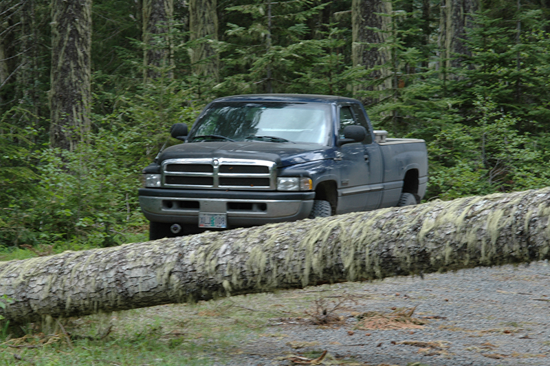
Road blocked
Road bar Iron Mountain 6/4/2007

The gravel road leading to the trailhead was blocked by a fallen tree so we parked and walked the last quarter mile. There were clouds overhead and it was a bit windy but we persevered. The trail hasn’t been conditioned from winter ravages and snow banks remain in the shadows but the wildflowers are blooming and butterflies abound. We didn’t see any evidence that anyone had hiked the trail yet and we were alone in our effort.

As the day progressed the clouds lowered until at times we were walking in the swirling mists. We were back at our vehicle about six in the evening… just in the nick of time as it started to rain as we approached the truck. We drove home in the rain thinking it had been a wonderful day in the woods and we had the pictures to prove we had been there.

byLarry

Related Images: