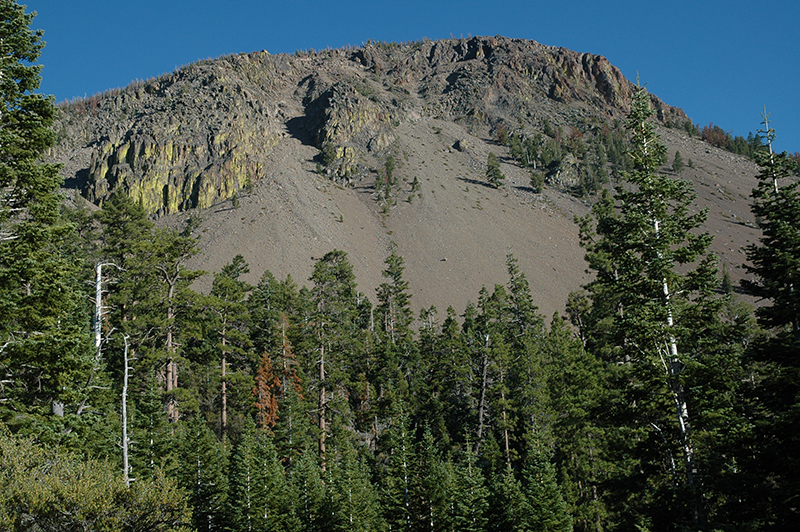
August 16, 2007: Slide Lake, Lake County, OR: Slide Lake is located near Slide Mountain at the south end of Winter Rim in the Fremont National Forest. It’s a small lake, I doubt it covers an acre, and shallow with bull rush covering one end. In a few more years it will be another mountain meadow. It’s a few hundred feet from a forest service road but if you don’t know where it is you will drive by without seeing it. Above the lake, in a grove of lodgepole pine, there is a delightful place to camp. There is no formal campground with toilets and drinking fountains. Sorry.
Chris and I arrived last night just before dusk with barely enough time to set up the tent and fix dinner. After eating we sat in the gloaming and watched bats forage for insects. At the first hint of evening the bats are high in the sky, but as evening progresses they descend. When it is almost too dark to see they are flitting around near ground level.
We also watch the stars pop out as the night sky appears. We can see satellites orbiting the earth and an occasional airplane, the high altitude jets, bound on the north/south track. They are nearly inaudible so their distant rumble isn’t a bother. We have no neighbors to annoy us and we wonder at the night sounds around us. Some kind of owl is out hunting… when I get home I’ll listen to the bird sounds CD I have and see if I can identify the owl. It’s a very pleasant place to spend the night.
With first morning light we are up. Lucy, our family dog, wouldn’t let us sleep any longer. She is anxious to go for a walk so we accommodate her. We perk a pot of coffee and have our breakfast oatmeal cookie. We tear down the tent and pack our gear one more time.
Today we will head for Silver Lake to talk to the National Forest Botanist for this region then head across country from Fort Rock to Millican. That will end the back country road exploration for this trip.
Out of Fort Rock we are met with a sign that declared our chosen path to be a dead end so we elected to try plan B. I drove past the exit thinking it was an access to a hay field but Chris insisted it was our road so we returned for a better look. It was our road and as the sign warned “This road is not maintained and is primitive.” It is not a wet weather road but fortunately they don’t have much wet weather in this area. It’s dusty, rocky, and bumpy but we managed to find our way to Millican. From there it is paved highway all the way home.
byLarry

