September 5, 2007: Summit Road, Union County, OR: Chris and I were on a road trip, roaming forest service roads in the Blue Mountain Region of eastern Oregon. We decided to camp for the night beside a small lake off Summit Road near Tollgate. Clouds threatened rain so we put up the tent. We didn’t get rained on but we awoke to thick fog and the rumble of vehicles, archery hunters, passing by on the road near our camp.
While we were packing our gear a pickup pulled up, two camoflage-clad hunters inside. They wondered how we were doing so we chatted about hunting for a few minutes. We had not seen elk or heard elk bugling. None of the camps we had passed had any meat hanging so I’m guessing hunting wasn’t good. Hunters were driving the roads hoping to spot something instead of getting out in the brush and stalking their game.
After packing up our camp we headed south along Summit Road to I-84 then after a jog east on I-84 followed the Grande Ronde river upstream, passing Starkey and drove south to Granite. From there we took FSR 10 to Olive Lake and eventually joined with US 395 south of Ukiah. Our road map indicated a secondary (gravel) road followed the North Fork of the John Day River to Monument. We hadn’t been that way before so elected to see some new territory.
The drive started well. The river is scenic but with passing each inhabitance the road got progressively rougher. Finally at the intersection with FSR 15 the road became more of a trail. What passed for a road had the look of having recently been scraped by a bulldozer and there were no culverts or bridges crossing creeks draining into the John Day.


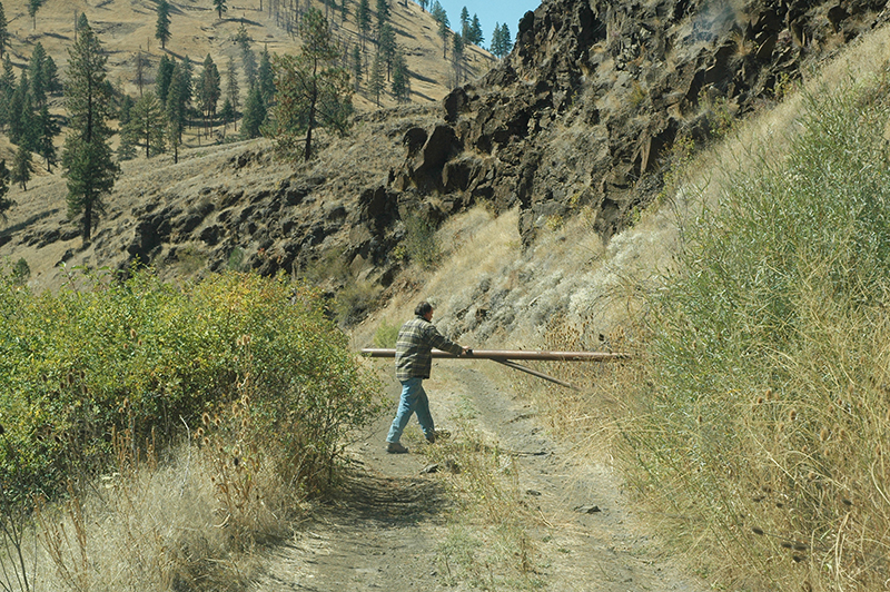
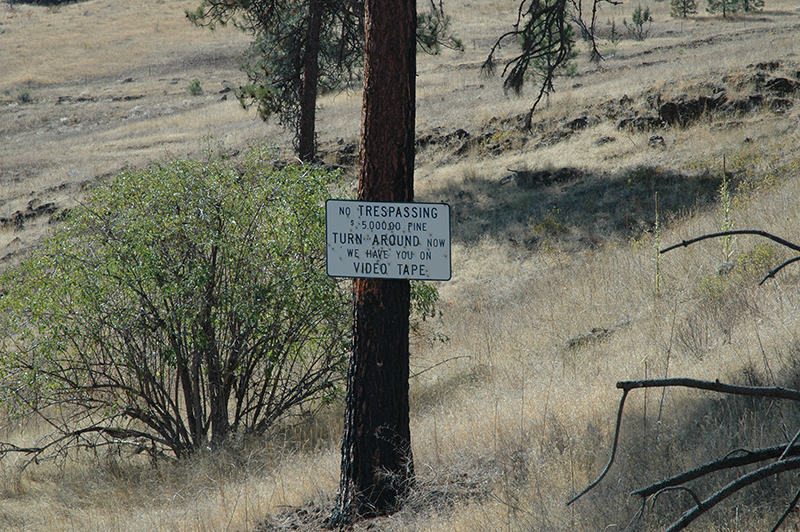
Finally we came to a gate barring the roadway and a sign that threatened financial harm to anyone who would dare to continue. What a revolting development that was. The sign was enough of a hint for us. We backtracked to FSR 15 and rejoined US 395 at Ritter. At Long Creek we turned west on highway 402 and headed for Monument.
We stopped at the US Forest Service office in Monument. There we were told that the North Fork road crossed private land and some of those landowners had chosen to shut off access. The Forest Service had been up there fighting fire and had “improved” the road so they could move their heavy equipment. That explained the cat tracks and blade marks in the road.
We didn’t know if it was legal to deny the public right of way but we weren’t about to assert that right out in the field. Maybe one of our US Senators can answer the question for us.
The rest of the trip home was uneventful and took place on paved highways.
byLarry

